Flood Watch Covers Santa Barbara County From Wednesday Morning Through Thursday Afternoon
The National Weather Service watch, issued Tuesday, covers the South Coast, the Santa Ynez Valley and the Santa Ynez Mountains. The City puts the window at 8 a.m. Wednesday to 4 p.m. Thursday.

A flood watch is in effect for much of Santa Barbara County from Wednesday morning through Thursday afternoon, after the National Weather Service office in Los Angeles and Oxnard issued the watch at 12:11 p.m. on Tuesday, Oct. 20.
The City of Santa Barbara, in its own notice on Tuesday, gave the local window as 8 a.m. on Wednesday, Oct. 21 to 4 p.m. on Thursday, Oct. 22, and said the watch includes the city and surrounding areas.
The weather service listed the zones under the watch as the Santa Ynez Valley, the county southwestern coast, the county southeastern coast, the western and eastern Santa Ynez Mountains and the county interior mountains. Places named in the watch include Santa Barbara, Montecito, Goleta, Carpinteria, Solvang, Santa Ynez, Los Olivos, Gaviota and Lake Cachuma, along with San Marcos Pass and Refugio State Beach.
Forecasters said heavy rainfall could bring flooding, with the greatest risk in places that drain poorly and in urban areas. Street flooding on a wider scale, and flooding along creeks and rivers, were both listed as possible.
Rainfall rates of between half an inch and one inch an hour are possible under the watch, with the heaviest rain expected on Wednesday and into Wednesday night, according to the weather service.
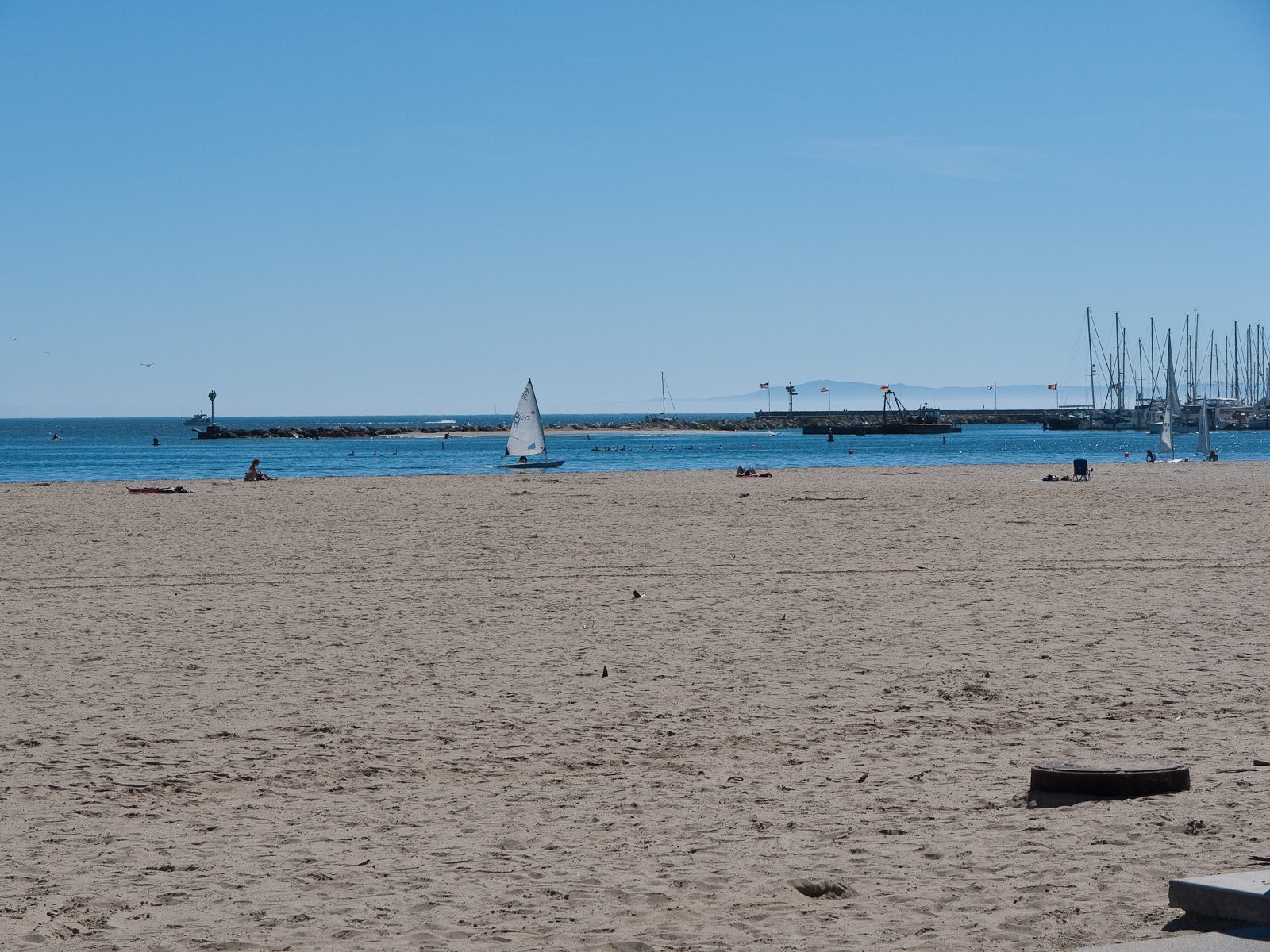
The same weather service summary carried a small craft advisory for the East Santa Barbara Channel, from Point Conception to Point Mugu and including Santa Cruz Island, from 11 a.m. to 8 p.m. on Wednesday. The advisory warned of hazardous sea conditions and advised inexperienced mariners, especially those in smaller vessels, to stay off the water.
A separate marine statement in the summary warned that thunderstorms are possible across the coastal waters through Thursday afternoon, and that any storm that forms could bring gusts, rough seas, lightning, heavy rainfall and waterspouts.
The weather service urged residents to keep following later forecasts and to stay alert for possible flood warnings. People who live where flooding is prone to occur should be ready to act if flooding develops, the watch said.
None to date. The Tribune corrects errors promptly and transparently. Read our corrections policy.