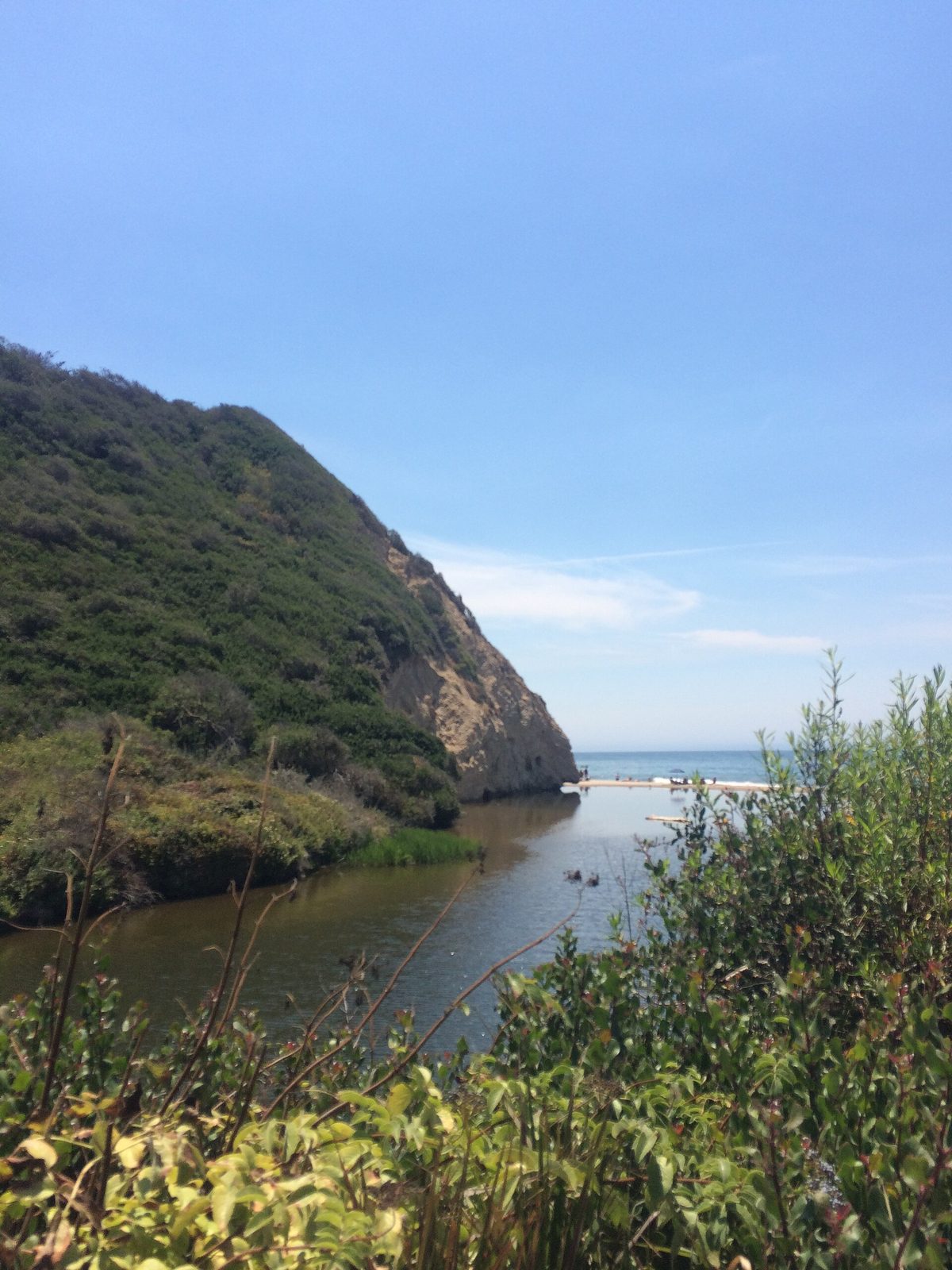
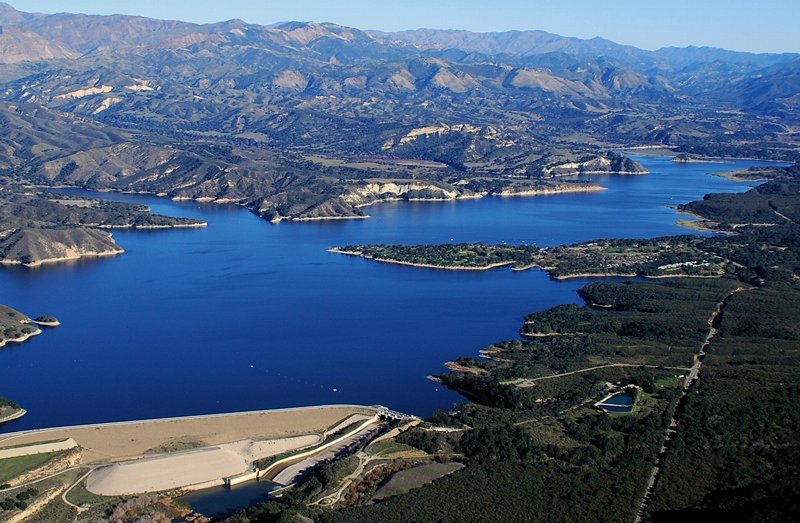
Santa Barbara's Neighborhoods
From the Funk Zone to the Riviera, the Westside to the Eastside: how locals divide up the city.
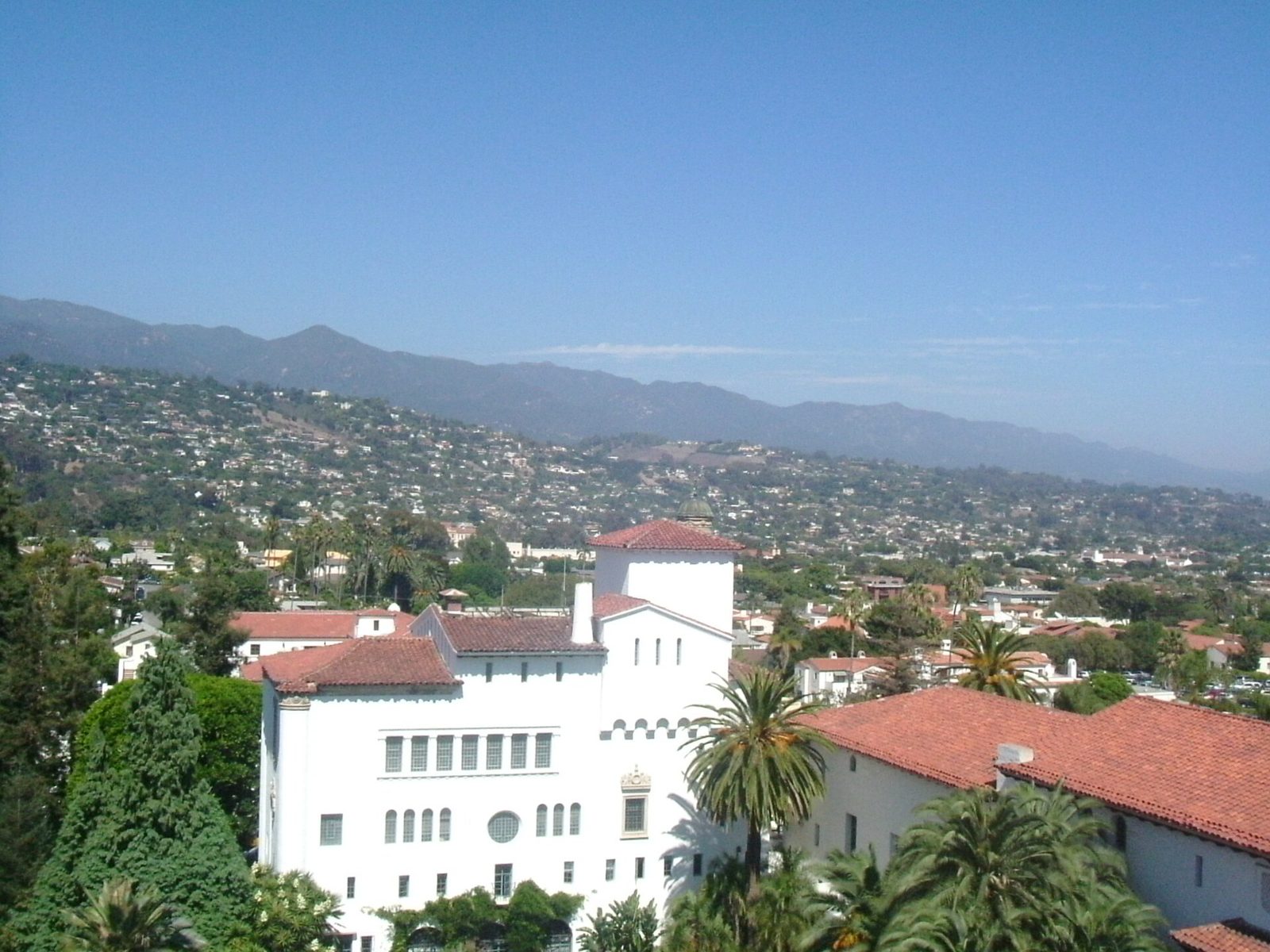
SANTA BARBARA: Santa Barbara's neighborhood names are local knowledge, and the boundaries are where locals say they are. Nobody agrees on the exact lines. This is a working map, not a legal document.
Downtown is the State Street corridor, from the County Courthouse down to the promenade on lower State Street. It is the commercial heart of town, and the starting point for everything else.
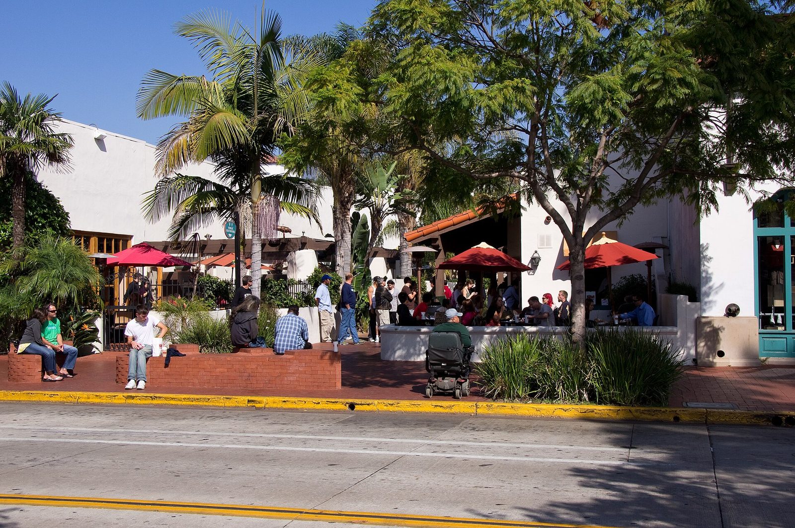
The Funk Zone is the old warehouse district between the Amtrak rail line and the waterfront, just east of lower State Street. Grain mills, fishing operations and manufacturing gave way to artists, and the artists gave way to tasting rooms, galleries and restaurants, all of it still wearing the warehouse bones.
The Waterfront is Cabrillo Boulevard, Stearns Wharf and the harbor. The flat path along the water ties the whole east-west run of the city together, and it is easy to find.
The Eastside is east of State Street, the Milpas Street corridor running up toward the Riviera. The Santa Barbara Bowl, the city's 4,562-seat amphitheater at 1122 North Milpas Street, sits above it on the hillside, managed by the nonprofit Santa Barbara Bowl Foundation.
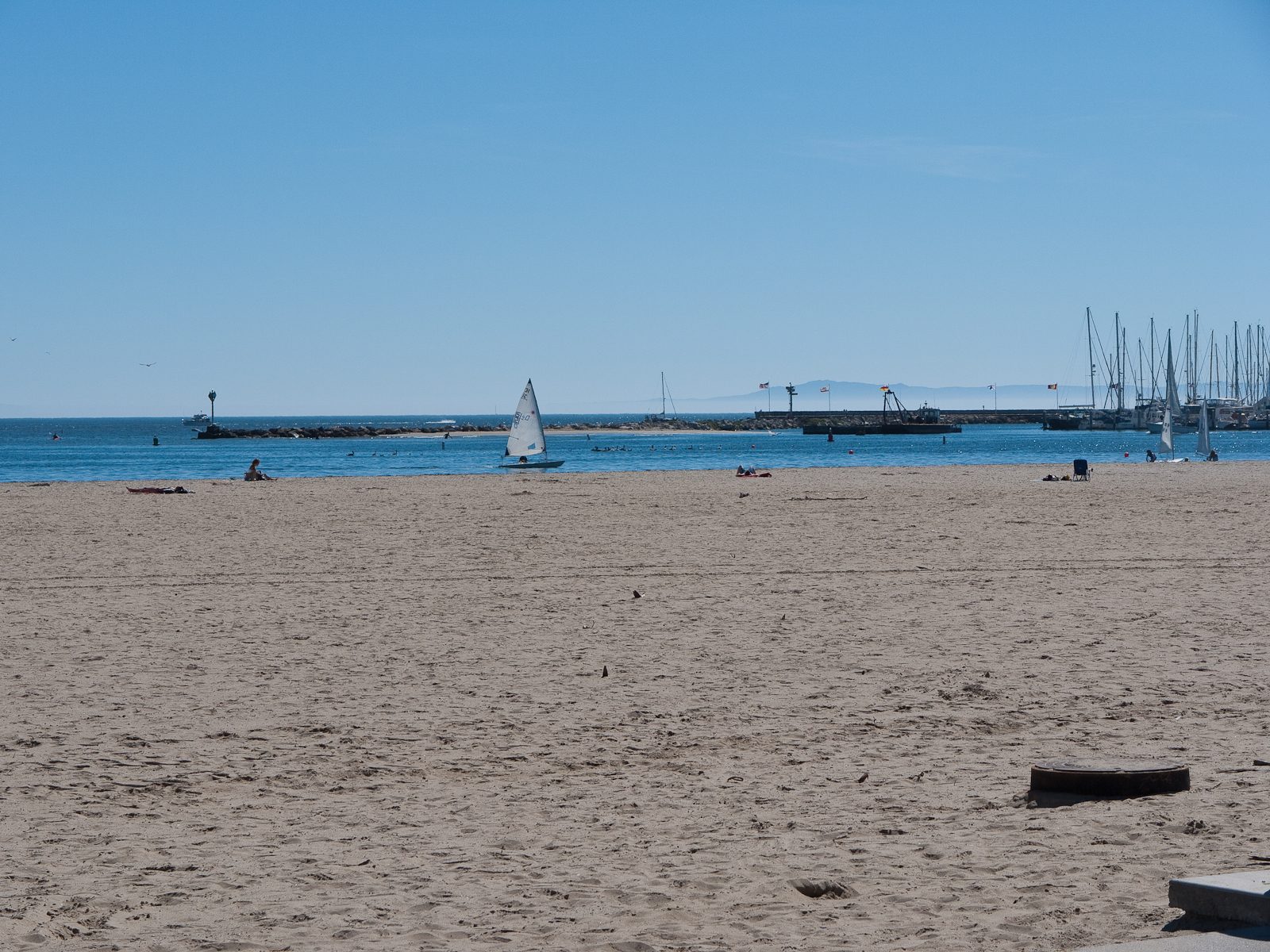
The Westside is the residential blocks west of State Street, running toward the Mesa and the coast. Santa Barbara City College's campus sits on the Mesa bluff above the harbor, overlooking the water the Westside looks out on.
The Riviera is the hillside above downtown, the slope locals mean when they say up the hill. It holds the views and the Bowl just above the Eastside.
Mission Canyon is the unincorporated canyon community just north of the city, gathered around the Old Mission and running into the foothills. San Roque is the hillside neighborhood inside the city limits just south of it. The streets start to climb.
Hope Ranch is the coastal enclave west of the city limits, and Montecito is the community southeast of the city, on the same coastal strip. Goleta and Isla Vista are to the west, home to the University of California, Santa Barbara, whose campus is adjacent to Isla Vista and is not part of the city at all.
The boundaries shift depending on who is talking. This map is a starting point. Ask three locals where the Eastside ends and you will get four answers, and that is part of how the city works.
None to date. The Tribune corrects errors promptly and transparently. Read our corrections policy.