Surf of 18 to 25 Feet Possible on the Central Coast as a Flood Watch Joins the Weekend Warnings
The National Weather Service keeps a high surf advisory on the Santa Barbara County Central Coast through noon Monday and a coastal flood watch from late Friday night through Saturday afternoon. A beach hazards statement covers the Santa Barbara city coast through Monday morning.
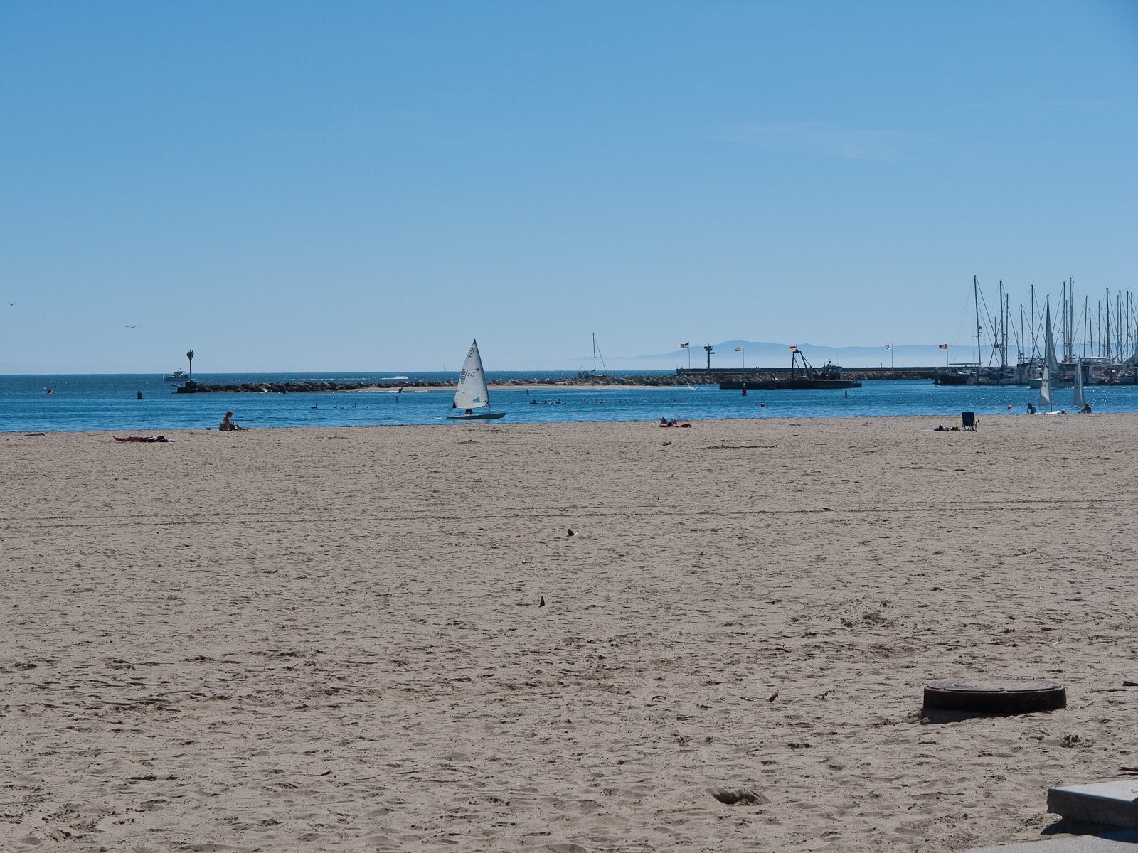
The National Weather Service in Los Angeles and Oxnard is keeping a high surf advisory in effect for the Santa Barbara County Central Coast beaches until noon on Monday, November 16, and a coastal flood watch for the same beaches from late Friday night through Saturday afternoon, according to the coastal hazard message the office issued at 6:06 p.m. on Wednesday.
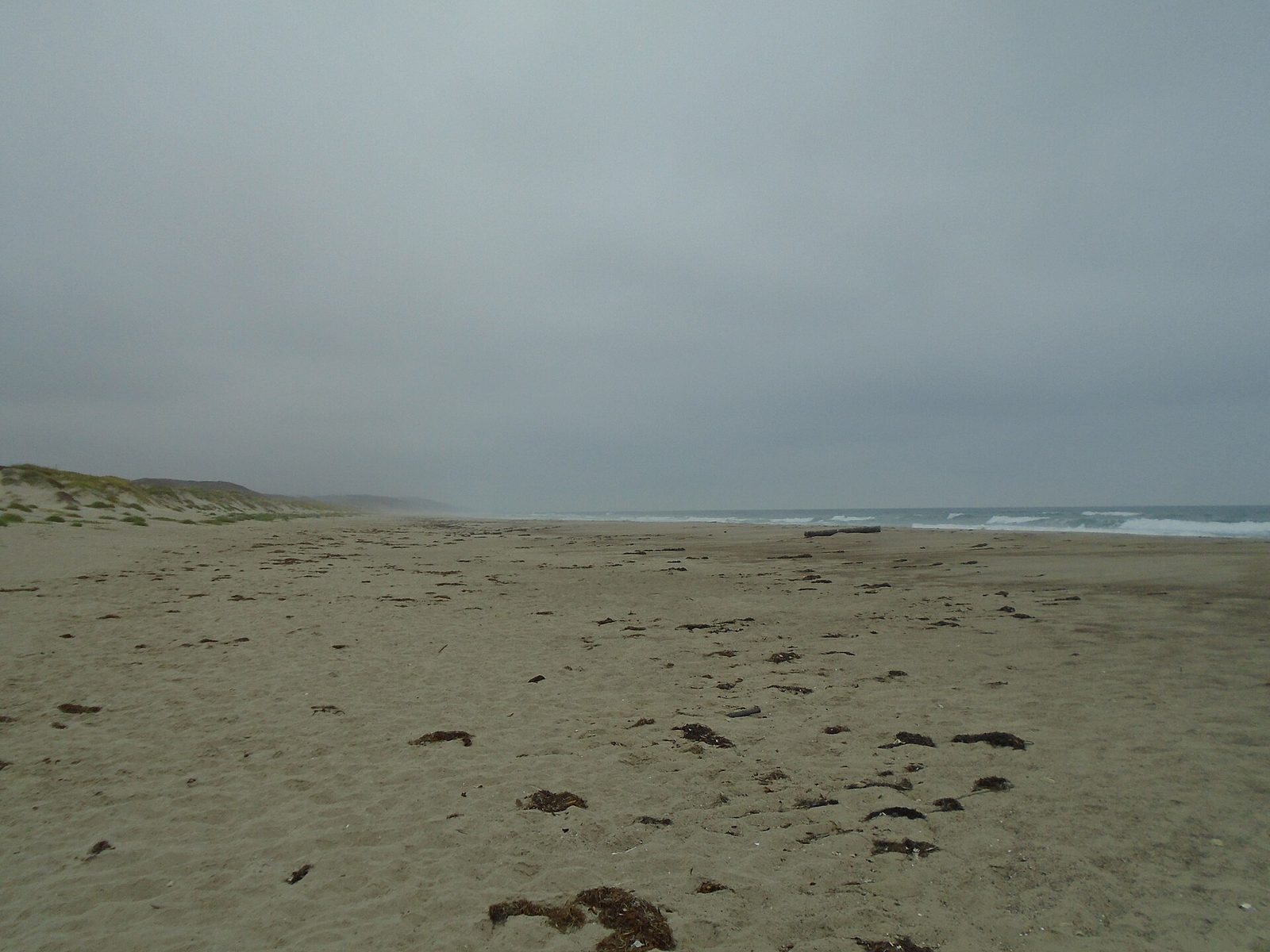
Breaking waves of 7 to 11 feet, with dangerous rip currents, are expected through Friday. The surf is then expected to increase sharply Friday night into the weekend, when the largest sets, 18 to 25 feet, could reach beaches that face west to northwest. The weather service says a significant westerly swell will push impacts to a peak on Saturday, with warning level surf likely and significant beach erosion expected.
Under the flood watch, significant coastal flooding is possible. The weather service warns that sea water could push across beaches and low roads and into vulnerable structures, most likely around the morning high tide, and it urges residents to safeguard property that floods and to budget extra travel time in case some roads close. Widespread flooding is likely at Oceano Dunes State Park, the message says, and coastal hazards are likely to continue well into next week.
The Santa Barbara city coast sits under a separate, lower tier product. A beach hazards statement remains in effect through Monday morning for the Santa Barbara County southwestern and southeastern coasts and the islands, covering dangerous rip currents and breaking waves from elevated surf, with minor tidal overflows possible during the morning high tides and a potential for advisory level surf and enhanced beach erosion, most on west facing shores.
For both stretches of coast the advice is to remain out of the water while the surf is dangerous, or to stay close to a staffed lifeguard tower, and to keep off jetties and rocks, where a large wave can sweep a person into the sea. The hazards in the new message run through Monday, days beyond the earlier round of advisories, and the weekend peak it forecasts is much larger.
None to date. The Tribune corrects errors promptly and transparently. Read our corrections policy.