City Reviews Mid-State Street Safety Plan With Residents at an In-Person Meeting and a Webinar
The City held an in-person meeting on Wednesday, Oct. 14, and a webinar on Thursday, Oct. 15, to review the Project Plan for the Mid-State Street Traffic Safety Improvements Project with the community, the City reported on Monday.
Residents have had their look at the plan for safer travel on the middle stretch of State Street. As part of the Mid-State Street Traffic Safety Improvements Project, the City held an in-person meeting on Wednesday, Oct. 14, and a webinar on Thursday, Oct. 15, to review the Project Plan with the community, according to a City news item posted on Monday, Oct. 19.
The two sessions were the public review step the City announced earlier this month. In its Oct. 2 invitation, the City asked the community to attend the Oct. 14 and Oct. 15 engagement meetings to share input on the Mid-State Street project.
The project sits inside the City's wider street safety planning. The City has developed a Safe Streets for All Action Plan with the stated aim of making Santa Barbara's streets safer by eliminating traffic fatalities and serious injuries, and the adopted plan's project selections chapter is now posted on the City's site.
In the Safe Streets planning effort, staff recommended a set of priority streets for further study of traffic safety infrastructure improvements. The list in the staff report includes State Street from Highway 154 to Mission Street, alongside corridors such as Bath Street, Canon Perdido Street, Castillo Street, Chapala Street, De La Vina Street, Las Positas Road and Olive Street. The adopted plan's selections chapter later listed the State Street segment as Highway 154 to Sola Street.
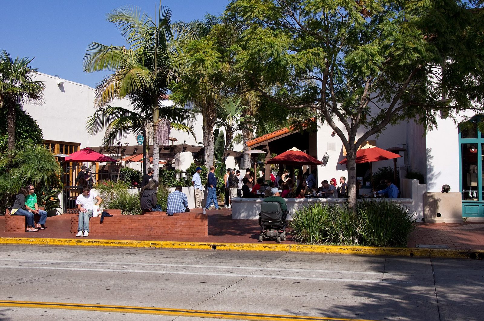
What happens on the mid-State corridor matters beyond the street itself. State Street is the city's main downtown spine, carrying drivers, bus riders, cyclists and people on foot through the same blocks, and the safety plan for its middle section will shape how those users share the road.

None to date. The Tribune corrects errors promptly and transparently. Read our corrections policy.