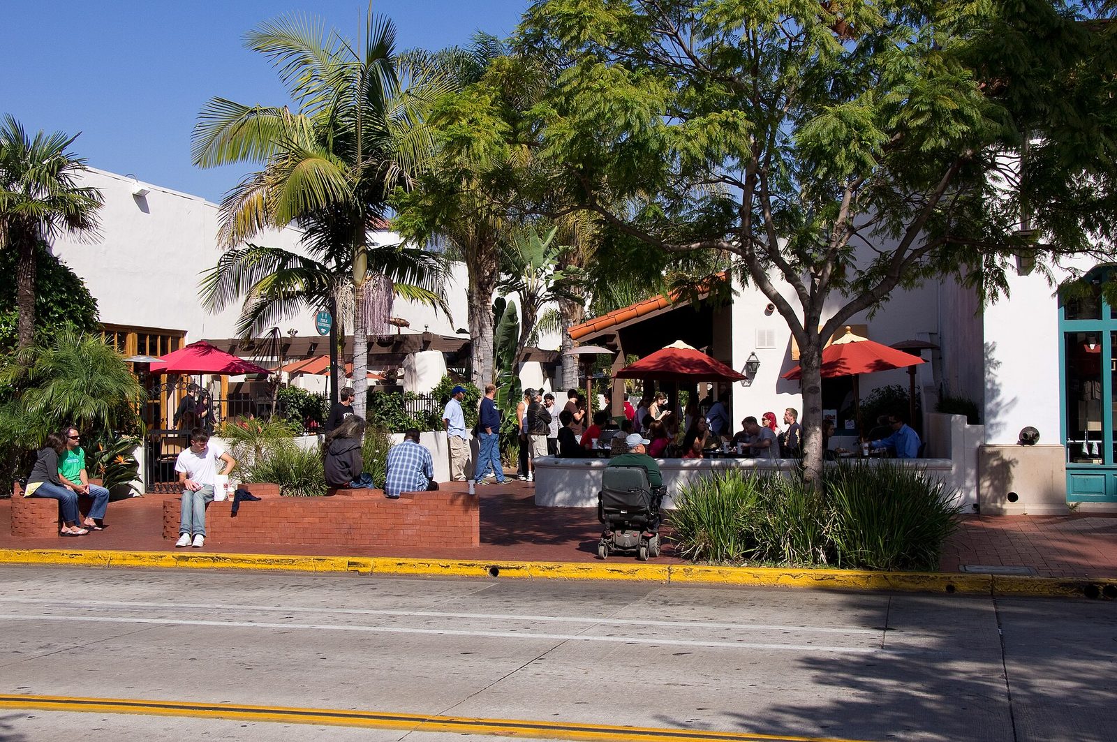
Flood Watch Runs From Wednesday Evening Through Thursday Afternoon Across Santa Barbara County
The National Weather Service says excessive rain could flood roads and low lying areas, drive heavy flows in creeks and canyons, and trigger rockslides, mudslides and debris flows in recent burn scars. The city opens its Annex Yard sandbag station on Wednesday.
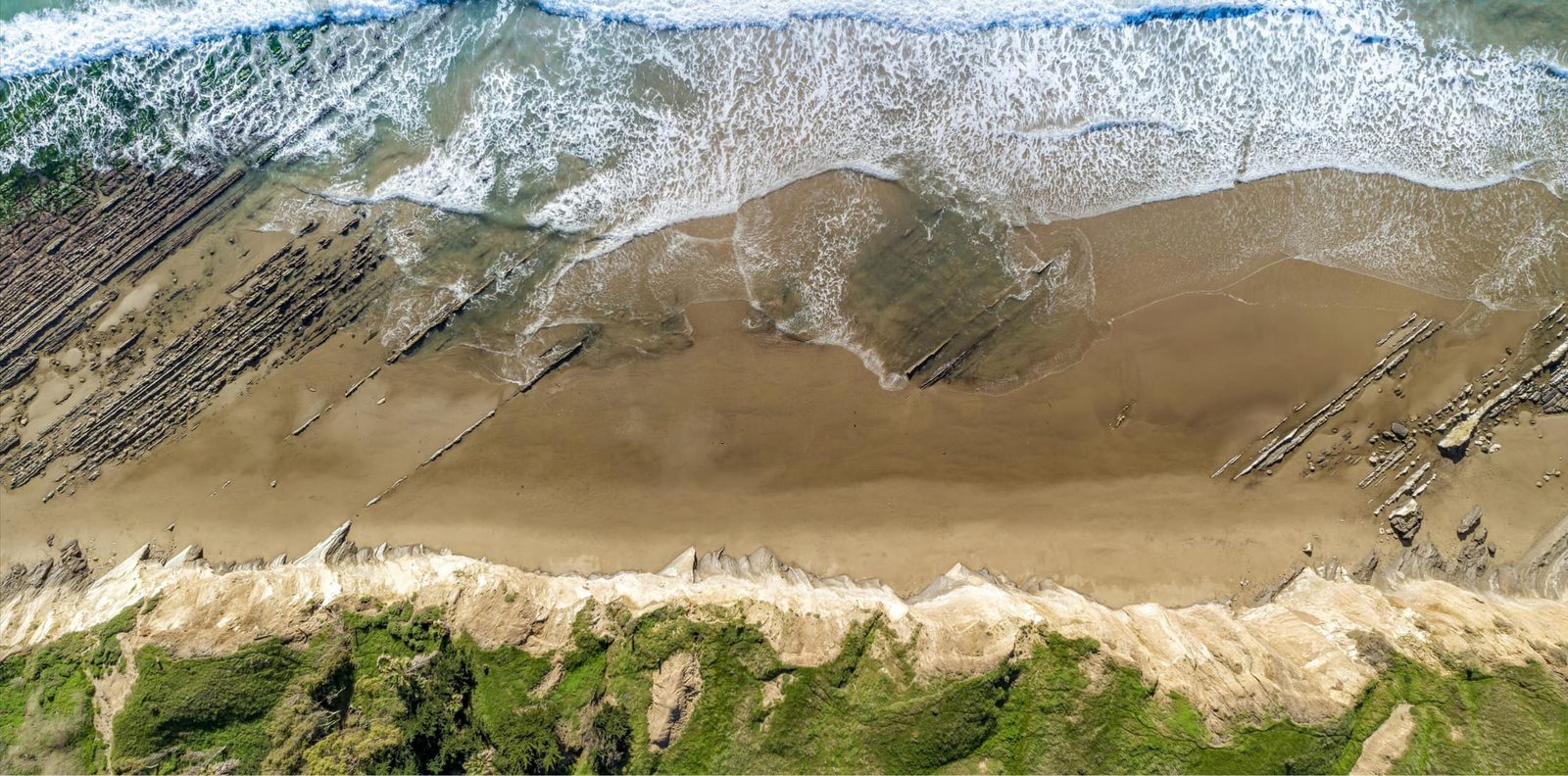
Santa Barbara County goes under a flood watch on Wednesday evening and stays there through Thursday afternoon, in a National Weather Service product issued at 3:46 p.m. on Tuesday, Nov. 17 by the Los Angeles and Oxnard office. The watch covers the whole county, from the Cuyama Valley and the Central Coast beaches to the Santa Ynez Valley, the south coast cities and the Channel Islands.
In the coded timing carried with the product, the Santa Barbara County window runs from 8 p.m. on Wednesday to 1 p.m. on Thursday. The Weather.com alert listing for the county carries the same window, Wednesday 8 p.m. to Thursday 1 p.m.
The hazard, in the weather service's wording, is flooding caused by excessive rainfall. Its listed impacts reach beyond ponded roads: roads and other low ground under significant water, creeks and canyons running heavy, and, where recent burn scars sit in the rain's path, rockslides, mudslides and debris flows.
The rain rates behind the watch reach up to 1 inch per hour, with the highest rates expected in the mountains. The product names, among the places covered, Santa Barbara, Goleta, Montecito, Carpinteria, Santa Maria, Lompoc, Solvang, Buellton and Santa Ynez, along with Lake Cachuma, San Marcos Pass, Refugio State Beach, Gaviota and Vandenberg Space Force Base.
The weather service's preparedness guidance is to keep monitoring later forecasts and stay alert for possible flood warnings, and for people who live where flooding is prone to be ready to act if flooding develops.
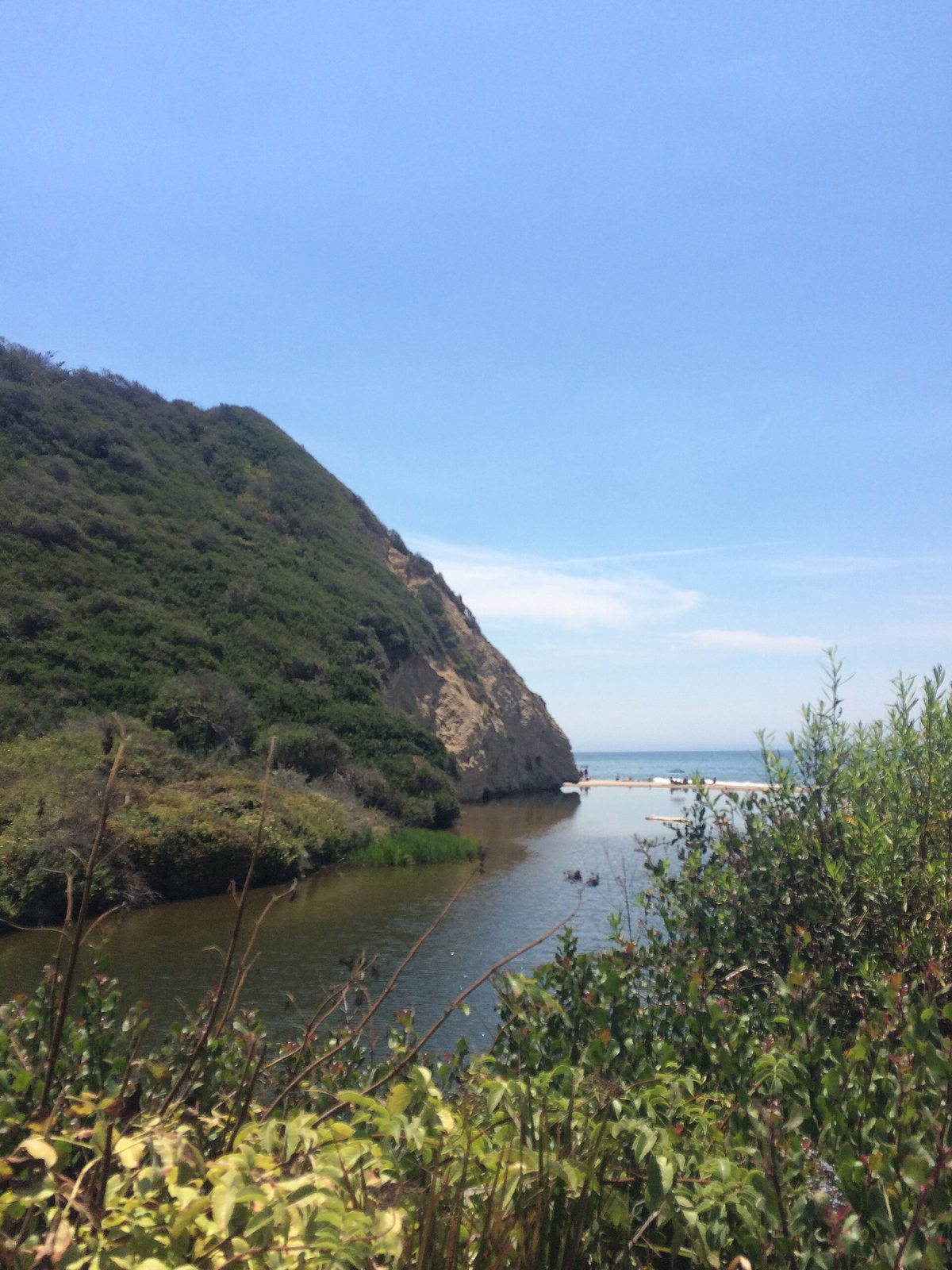
The City of Santa Barbara is opening its self serve sandbag station at the Annex Yard for the storm, which the city expects in the county from Wednesday, Nov. 18 through Thursday, Nov. 19. The city's sandbag station list puts the Annex Yard at 401 East Yanonali Street. Under the city's stated policy, a station opens only after the National Weather Service issues a flood watch and the city then confirms it.
None to date. The Tribune corrects errors promptly and transparently. Read our corrections policy.