South Coast Moves Under a High Surf Advisory for Tuesday, With the Central Coast Advisory Running to Wednesday
The weather service's Monday night message replaces the South Coast beach hazards statement with a high surf advisory until 9 p.m. Tuesday, calling for breaking waves of 6 to 9 feet on west facing beaches, and keeps the Central Coast advisory in place until 4 a.m. Wednesday.
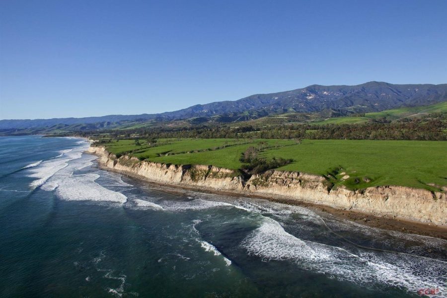
The surf map for Santa Barbara County changed on Monday night. In a coastal hazard message issued at 9:37 p.m. on Monday, Nov. 16, the National Weather Service office in Los Angeles and Oxnard cancelled the beach hazards statement for the county's southwestern and southeastern coasts and put those shores, the South Coast city beaches among them, under a high surf advisory until 9 p.m. on Tuesday. Monday morning's message had covered the same beaches with the lesser statement, with surf of 4 to 6 feet.
The advisory calls for breakers of 6 to 9 feet where the beaches face west, with dangerous rip currents expected. The stated risks are an increased chance of ocean drowning, rip currents strong enough to pull swimmers and surfers out to sea, waves that can wash people off beaches and rocks, and surf that can capsize small boats near shore. Weather.com's alert list for Santa Barbara carries the same high surf advisory through 9 p.m. Tuesday.
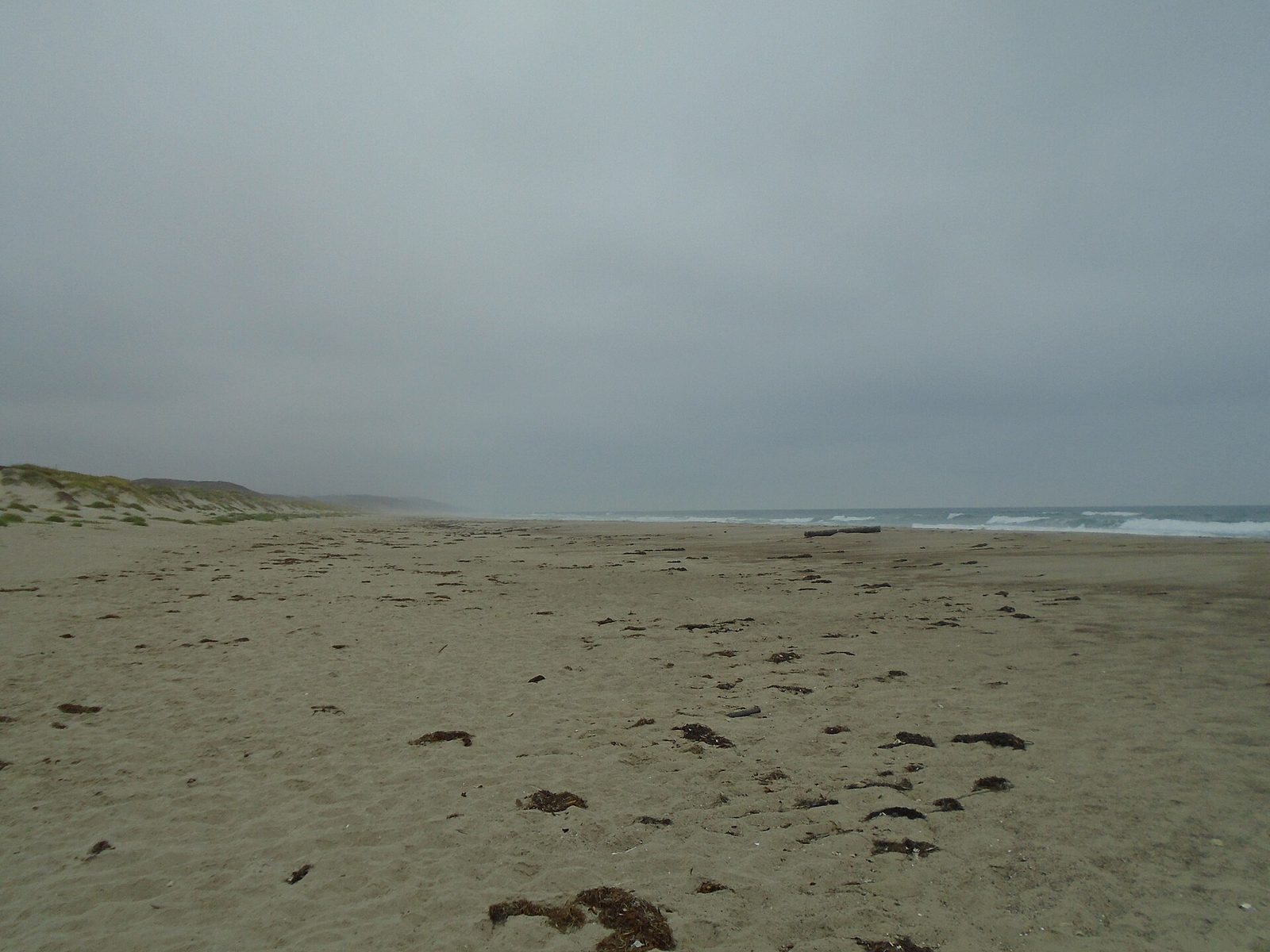
The bigger water stays on the Central Coast. There, the high surf advisory now remains in effect until 4 a.m. on Wednesday, with breakers put at 12 to 18 feet, easing to 8 to 12 feet by Wednesday. The companion coastal flood advisory for the Central Coast beaches ended on Monday evening. While the flood risk was in the message, forecasters expected moderate flooding of seawater over vulnerable low lying areas around high tide, including beach parking lots, bike paths and harbor walkways, with moderate beach erosion likely and isolated damage unlikely but possible.
Catalina and Santa Barbara Islands remain under a beach hazards statement through Tuesday afternoon, with dangerous rip currents and breaking waves from elevated surf, and minor tidal overflows possible during the morning high tides.
The pattern is not finished after Tuesday. The message says another large swell is expected on Wednesday into Thursday for the South Coast and the islands. For the Central Coast, forecasters expect the advisory to be renewed past Wednesday, perhaps for the rest of the week, and put the chances at moderate that Thursday brings a high surf warning instead.
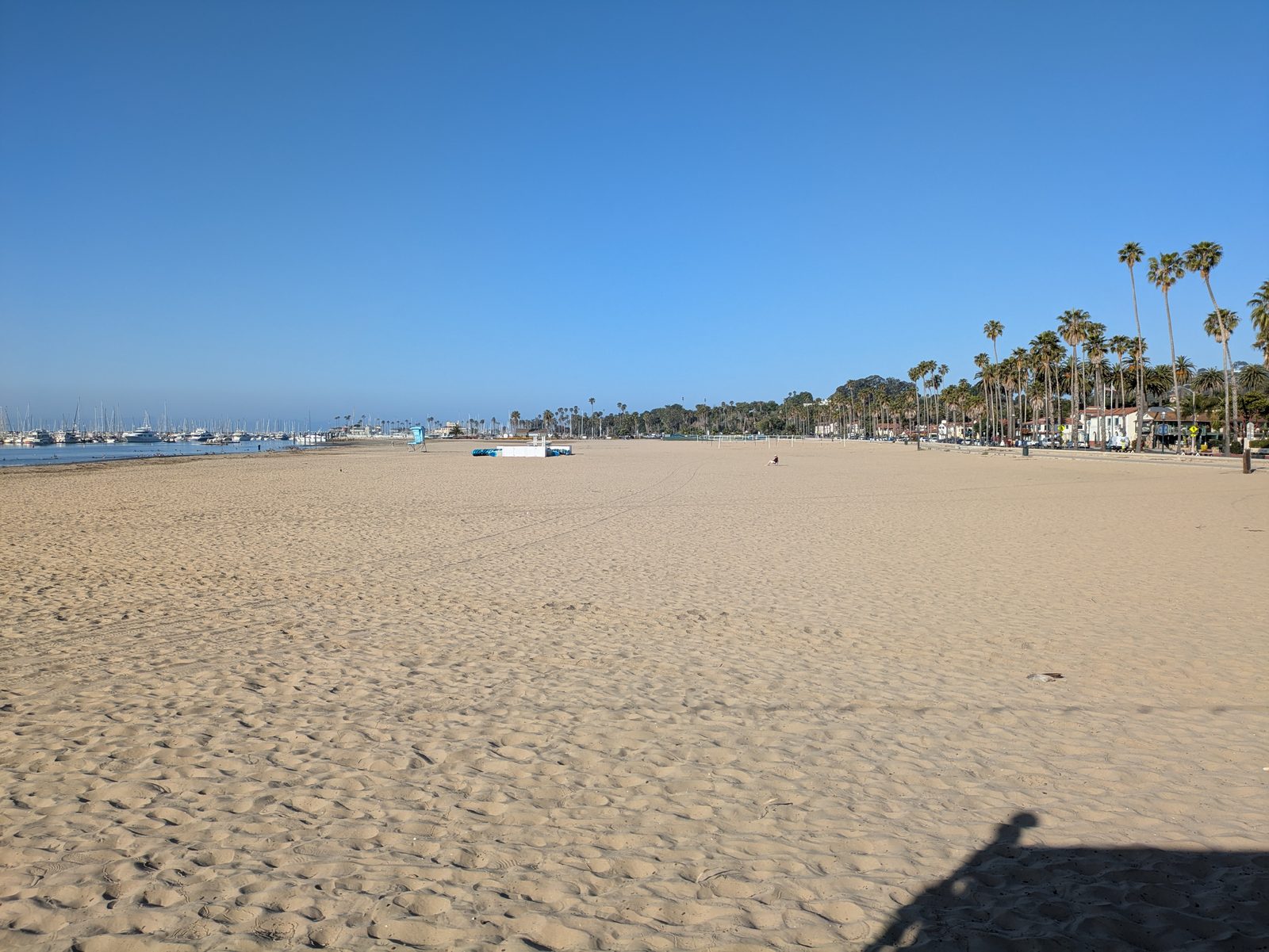
The guidance is the same across the county's shores. Stay out of the water in these conditions, or stay near an occupied lifeguard tower. Rock jetties are deadly in surf of this size, so stay off the rocks. For flood prone property, the message repeats the standing advice to protect it ahead of time and never to drive around barricades or through water of unknown depth.
None to date. The Tribune corrects errors promptly and transparently. Read our corrections policy.